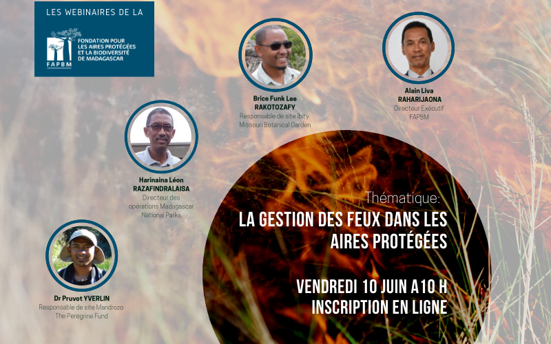
Every year, between 50,000 and 100,000 ha of forest in Madagascar are lost along with the services they provide: air purification, protection against soil erosion, prevention of silting, etc. Fire is the primary source of deforestation in Madagascar. How do protected areas manage this threat whose causes are numerous? Through a webinar that took place on June 10, 2022, FAPBM gave the floor to 3 of the protected area (PA) managers it supports: Missouri Botanical Garden (MBG), MNP and The Peregrine Fund (TPF).
Brice Funk Lee Rakotozafy, MBG site manager, shared the experience of Ibity PA (South Axis, 180 km from the capital of Madagascar). With photos to support his claim, Brice explained the system of early fires applied in the savanna and pyrophyte forests. This method is the result of careful monitoring of satellite image history and mapping of the PA: map of the evolution of tapia wood surface areas, map of fire frequency for 17 years, map of the location of fire penetration zones in the PA, map of natural fires.
Dr Yverlin Pruvot, TPF site manager, elaborated on the role of communities (VOI) in the protected areas of the Tsimembo Manambolomaty and Mandrozo Complexes (western Madagascar), whose fires are mainly caused by agro-pastoral practices. Upstream, the communities are sensitized and educated on the regulations. Then they are involved in monitoring and surveillance, information gathering and detection (community patrols, maintenance and cleaning of reforestation areas, installation and maintenance of firebreaks, etc.). In case of a fire, they are mobilized to extinguish the fire.
Mr. Aroniaina Rajaonarivo, in charge of operations, explained at length the fire management system of the Madagascar National Parks (MNP). According to the observations, the main causes of fire are clearing practice and vegetation fires. An important information system has been put in place to predict and react quickly to the occurrence of fires: daily monitoring by satellite and agents on the ground, the mapping of fire risks based on multivariate analysis (history, climate, demography, land use, etc.)
Despite a decrease in fire points of -45% in the funded PAs in 2021 compared to 2020, the greatest challenge remains the management of the demographic explosion, multiplying the risks of pressure on the PA. However, community involvement remains a key asset in the fight against fire.
The link to the video is available here.
Questions and answers:
The questions provided additional information, the answers to which are transcribed below for those addressed during the session. Others could not be addressed due to time constraints. Serge Ratsirahonana (SR), FAPBM Monitoring and Evaluation Officer, Brice Funk Lee Rakotozafy (BR), MBG Protected Area Manager, Aroniaina Rajaonarivo (AR) of MNP, and Dr Yverlin Pruvot (YP), TPF Site Manager, have gone over these questions again for the readers:
Q: How did you manage the fire during the two lockdown periods in 2020 and 2021?
AR: We were able to continue with the activities in the fire management plan, except for the community outreach, to avoid mass gathering.
BR: During the lockdown period, patrols and community awareness were greatly increased compared to the previous period. In addition, drone flights over the protected area were increased, both for monitoring and intimidation purposes.
YR: There were no major changes in our methods during the lockdown. We went on with active and passive control actions.
Q: Shouldn’t the fact of having fire management techniques be mandatory for a protected area manager?
SR: Indeed, a management system with a component on active and passive fire control is required for all protected area managers.
Q: How to manage fires in large PAs (more than 5,000 ha)?
AR: We have a fire management plan which categorizes fire sites. The Mikea PA is an example. Each of the sites has a strategic fire management plan that includes prevention strategies (patrols, awareness, firebreaks, etc.) and active control (fire brigade, etc.).
SR: MNP’s experience shows that satellite image monitoring, early warning systems and finally community mobilization and active firefighting are pillars to fire management in large protected areas. Regarding satellite images, the Geoportal promoted by the Ministry of Environment and Sustainable Development https://www.rfmrc-ea.org provides access to up-to-date satellite images on Madagascar.
Q: In what context/under what condition can we talk of fire management and firefighting?
SR: Fire management is about the overall system in place while firefighting is its operational application.
Q: Are these fire maps distributed to managers other than MNP?
SR: Each manager has the fire map related to its protected area at a given time, this is needed for monitoring and reporting. To have access to it, the request must be made to the relevant manager.
Q: How can one recognize and distinguish fires of natural origin from those of anthropogenic origin? Are fires that spread on a large scale mostly natural or anthropogenic fires?
BR: Natural fires starts from within the protected area while anthropogenic fires originate from outside the protected area. Natural fires are generally limited to a small area, even 50 m2, forming mosaics within the protected area, while anthropogenic fires extend over a large area.
Q: What criteria do you use to determine fire risk?
AR: The criteria are not limited to frequency, but also depend on models that take into account fire occurrence factors (biomass, etc.), and human activities around the areas at risk.
BR: On the one hand, when there has not been fire occurrence for a long time in an area, the likely proliferation of grass or biomass (savanna) is conducive to fire. On the other hand, monitoring of community activities makes it possible to predict “favorable” periods for fires, notably the pre-planting period for clearing , and the dry period during which, in the absence of agricultural activities, communities turn to charcoal-making.
Q: What about impluviums? Do you fill them during the dry season? And how do you do it? If the road access is not passable? Does the impluvium filling process (by rain) follow the periods, the rhythm of the fire frequency?
AR: Impluviums fill naturally during the rainy season. If it is not sufficient during the fire fight, managers resort to other water points.
Q: Are there any examples or references to show the effectiveness of these early fires?
BR: In areas where early fires have occurred, the size of the fires is generally smaller, because the reduction in biomass limits the extent, or even extinguishes the fire.
Q: What is your biggest challenge in terms of fire management in protected areas?
AR: Reducing the area and number of fires in the network by 20% annually.
BR: Identifying the appropriate fire regime for the protected area, given the characteristics of the protected area.
SR: Being able to control fires and prevent them from spreading.
YP: The biggest challenges are migration management and the population explosion, whose need for fertile land multiplies the risks of pressure on the Protected Area. The first challenge requires multi-sector collaboration for land use planning. The second needs the empowerment of communities to defend the protected area against fire on their own.
Q: Is it possible to prevent fires with plants as fire-breaks? If yes, which species are the most used?
AR: At Ankarafantsika PA, we have encouraged dry crops (cassava, groundnuts, corn) on a part bordering the park, thus preventing external fires from entering the park.
SR: On a vegetative firewall, rows of plants are grown in lines one behind the other from the smallest to the tallest, in other words from legumes to shrubs. This innovative approach has the advantage of containing fires and is being useful for communities.